Aerial high resolution imaging investigations using remote sensors (multispectral imaging, thermography, high-resolution photography and LIDAR) for archaeological sites and outdoor cultural heritage assets, data correlated in a GIS layer package
Fields of application
-
Cultural heritage
archaeological object and site, architecture, decorative arts, landscape, mosaics, painting, sculpture
-
Natural heritage
landscape
Materials
-
inorganic
ceramic (clay/mud brick/terracotta/earthenware/stoneware/porcelain), glass, metal and metallurgical By-Products
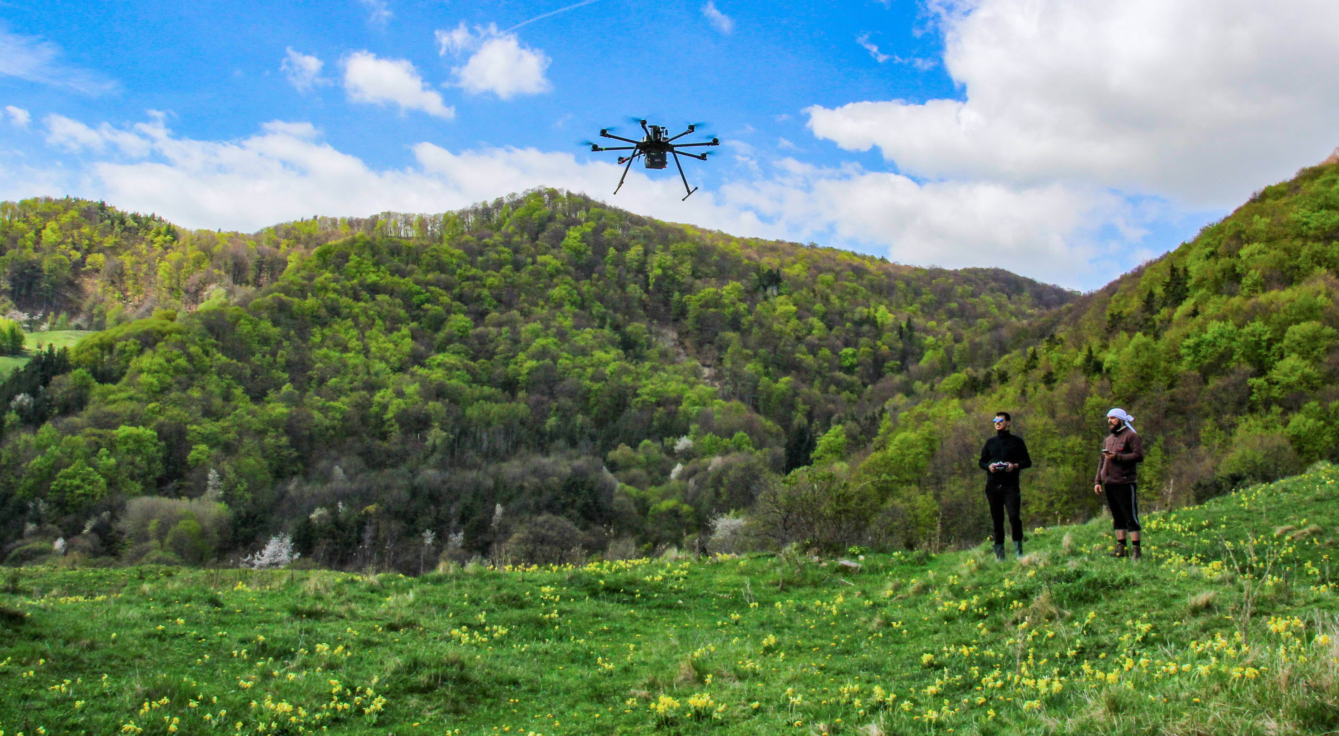
TOOLS
Professional UAV (ITALDRON E-Epic 8 HSEMax) - 8 propeller UAV system with a wingspan of 1.28 m, capable of reaching 12m/s. It is ground controlled and it can carry up to 11kg load; GPS, WiFi, synchronizing and connectors for different imagistic sensors, physical supports for different imagistic supports, gimbal, two trained pilots; Photogrammetry equipment: Nikon...