Terrestrial Laser Scanning Systems are commonly used to provide accurate models of objects and buildings. The particular method is used with other conventional photogrammetric methods for the documentation and monitoring of historical buildings and archaeological monuments.
Fields of application
-
Natural heritage
mineral
Materials
-
inorganic
stone
TOOLS
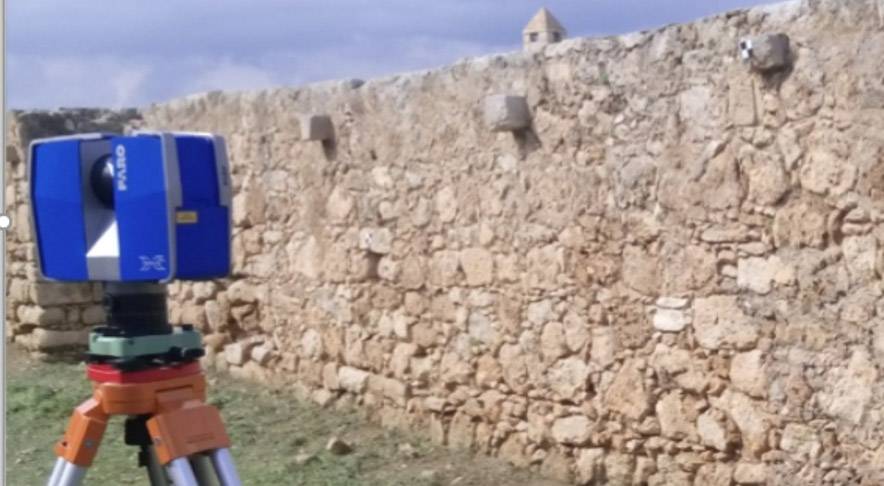
The specific laser scanner may scan up to 50,000 points per second, while the accuracy -as provided by the developer- is ±6mm/50m distance. The field of view of the Scan Station is 360o x 270o. Moreover the laser allows acquiring the reflected beam intensity and RGB colours. Tripods and the HDS scan targets are the...