User: Melanie Bartz
ORCID: https://orcid.org/0000-0002-4703-6057
Organisation: University of Lausanne, Institute of Earth Surface Dynamics
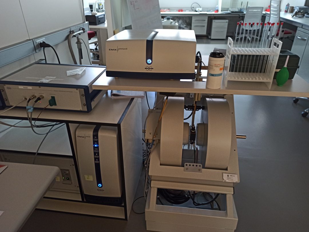
Technique requested: Electron Spin Resonance (ESR)
Facility: Geochronology Laboratory
Connecting the Alps with the North Sea, the Rhine River system represents one of the most complete sequences of fluvial archives at the continental scale. As UNESCO World Heritage Site, the Middle Rhine Valley (MRV) exhibits a well-preserved terrace flight that serves as an important record for studying the response of geological and sedimentary processes to the impact of changing environmental conditions. Moreover, these deposits host some of the oldest evidence of human presence in the area, as evidenced by the Acheulean lithic industry found at Kärlich.
While historical river adjustments have been studied extensively, reconstructing rates of landscape evolution over the Late Cenozoic period remains challenging. This lack of knowledge is mainly caused by missing chronological information in the area due to difficulties in dating such ancient terrace sediments. In this study, we use electron spin resonance (ESR) dating of quartz, which can overcome limitation arising from the upper dating range of other techniques. By directly dating the fluvial deposition of old terraces, the ESR method provides, thus, first valuable quantitative insights into the long-term evolution of the Rhine from the Pliocene onwards.
In total five ESR samples were measured at the ESR dating laboratory at Centro Nacional de Investigación sobre la Evolución Humana (CENIEH). The five samples were collected from three key geomorphological levels in the MRV, including the deposits associated to the archaeological findings from Kärlich. First ESR ages are stratigraphically consistent and date back to the early Pleistocene. Based on the newly established geochronological framework, we can (i) assess the time-varying incision rates over the Late Cenozoic, (ii) unravel the role of each driver responsible for the disequilibrium of the Rhine on these timescales, and (iii) chronologically constrain a main Acheulean occupation site in the area.